

Precise.
Documented.
On Record.
FAA-certified drone surveys and facade condition
documentation. We subcontract to firms, structural engineers, and building owners across NYC metro, Westchester County, and Fairfield County
— delivering the data your LL11 filing needs.
What we Deliver
Facade Documentation:
Full perimeter imaging and condition survey
As-Built Survey:
Measured drawings from drone data
Drone Mapping:
Aerial photogrammetry + 3D model
Condition Report:
PDF deliverable, LL11-ready
Survey Specifications
FAA
C E R T I F I E D
DIGITAL TWIN
FULLY LABELED VIEWABLE 3D MODEL
4k
RESOLUTION
RTK
UP TO 9CM GPS ACCURACY

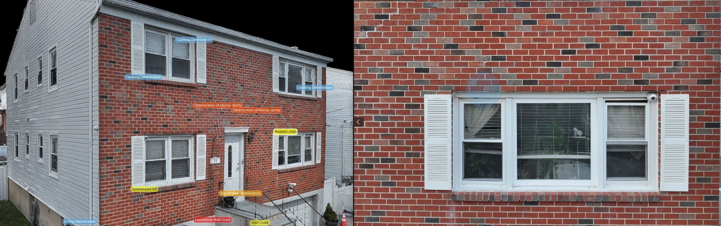
After: Post Process Facade Documentation
After: Post Process Digital Twin with GPS + Photo Pinpointing
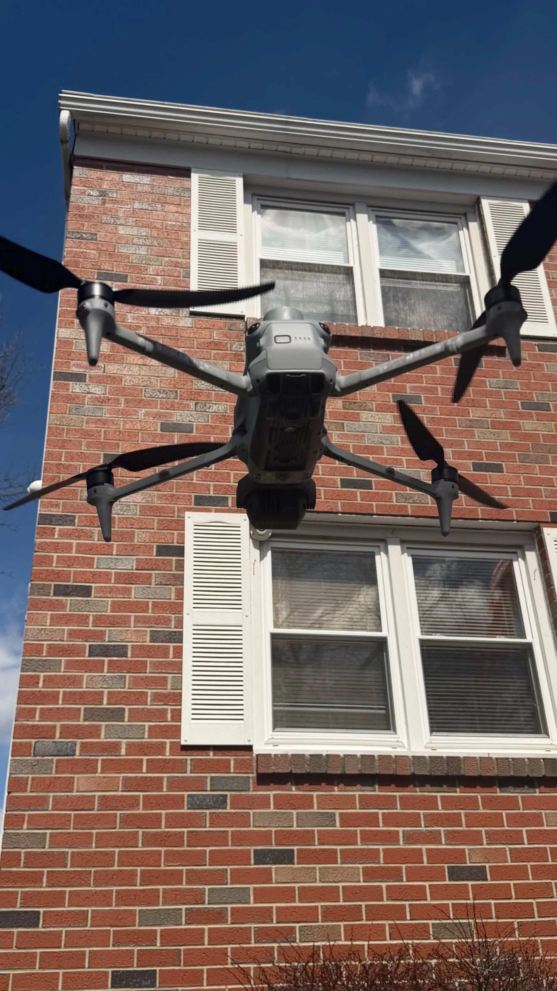
Facade Drone Inspection
We Process the Data: Every image is analyzed for facade defects, mapped to your building elevation.
01
You Get a Report: A professional PDF condition report with annotated photos, GPS-located defects ready for your PE or filing agent.
02
We Fly the Building: FAA Part 107 certified pilot captures full perimeter coverage with a DJI Matrice 4E in 4K. GPS-tagged every frame.
03
The Wait: From time of initial flight till the finished report is a 5-7 day span. Timeline may vary based on the complexity and location of the project.